Create a model of a hydraulic system or a watershed hydrology study. Manage the elements of a layout and create a comprehensible design, adjust the dimensions and check the integrity, the flow parameters, basin delineation, geometric placement, GIS overlay, etc.
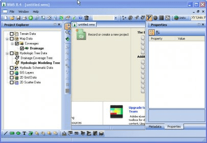
The Watershed Modeling System (WMS) is a comprehensive graphical modeling environment for all phases of watershed hydrology and hydraulics. WMS includes powerful tools to automate modeling processes such as automated basin delineation, geometric parameter calculations, GIS overlay computations
Comments